Celebrating National Bike Month in Bakersfield
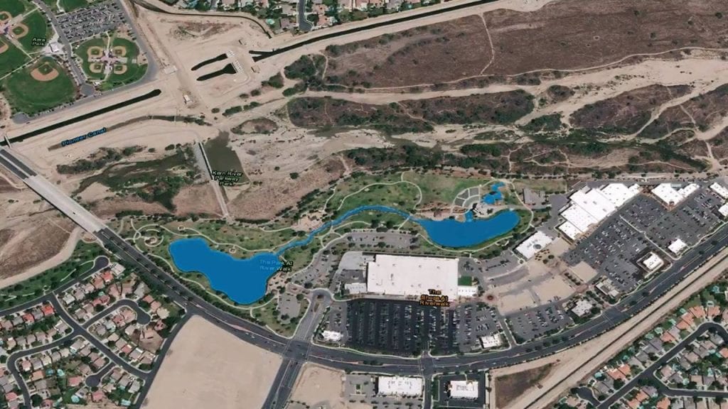
Using a mixture of aerial imagery, GIS, and video editor Filmora, this video celebrates National Bike Month with a bike ride at the Park at Riverwalk.
Using a mixture of aerial imagery, GIS, and video editor Filmora, this video celebrates National Bike Month with a bike ride at the Park at Riverwalk.

Voice assisted devices could provide benefits to assisted living residents
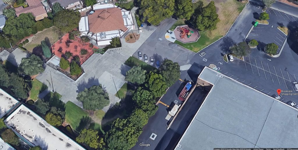
In the past few years, I’ve noticed Google Maps has added what I call a fauna layer of filtered and/or geoprocessed images when using zoomed in aerial imagery.
Say what you will about Amazon; love them or hate them. Regardless how you feel, Amazon is here to stay. And in this expansion period, they are trying a variety of disruption models when it comes to technology, and now even services.

Movie lovers and locals alike will enjoy this montage of Bakersfield Movie Shout Outs
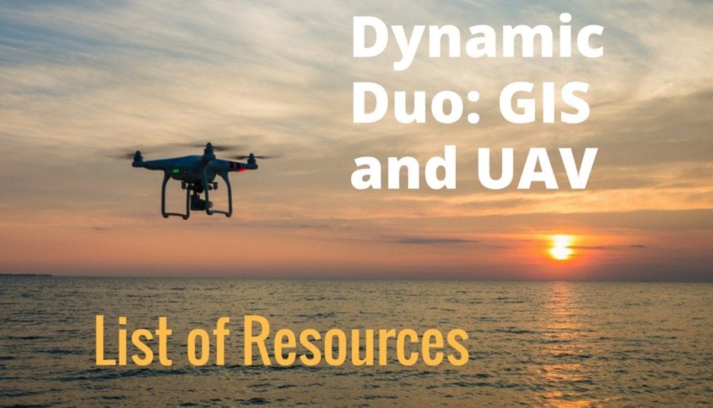
I’ve been into GIS along with all things spatial for a bit now, and there’s no doubt in my mind that Unmanned Aerial Vehicles (UAV) and GIS are the new dynamic duo.
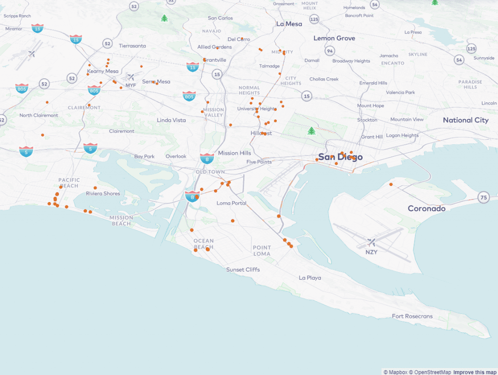
Using GIS in animal services can be a way to find specific areas and neighborhoods where targeted resources should be directed.

If you’re a Bakersfield small business owner, it may seem tough sometimes to keep up with the big box chains when it comes to technology and seemingly endless budgets. One advertising area, which in the past was expensive, included digital signage.
Businesses need to know that customer reviews are here to stay. Keep in the know to keep your business relevant!

If you’re a Bakersfield nonprofit and offer technology services, there’s a good chance you can take advantage of the California Teleconnect Fund (CTF) to receive a 50 percent discount on selected telecommunications services.